Färnebofjärden National Park- Färnebofjärdens nationalpark
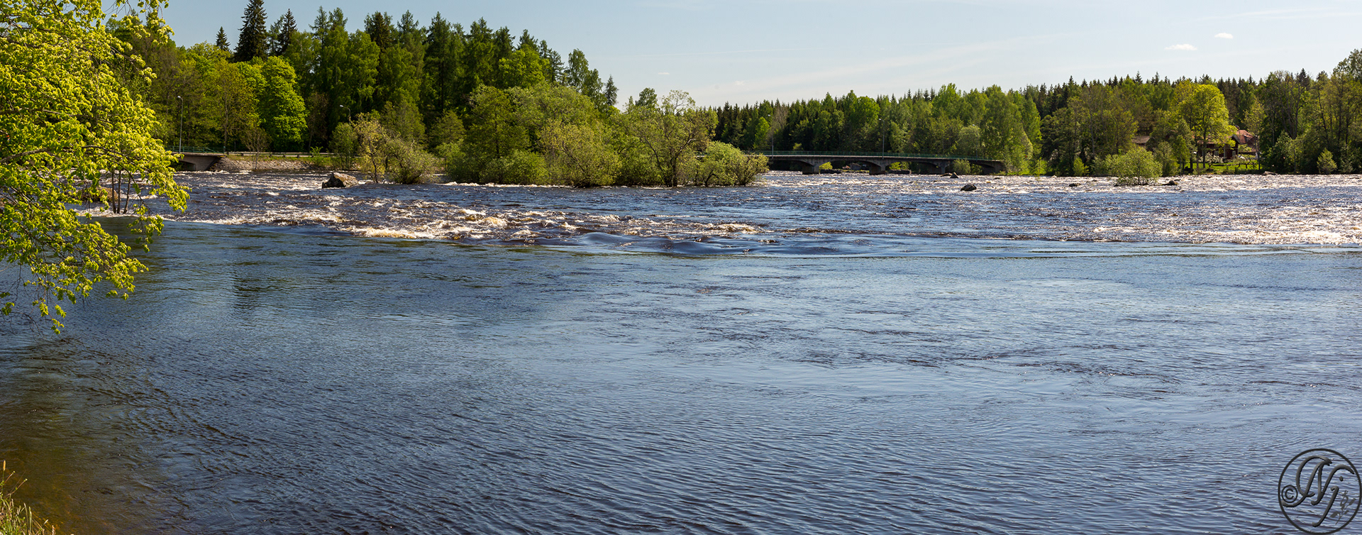
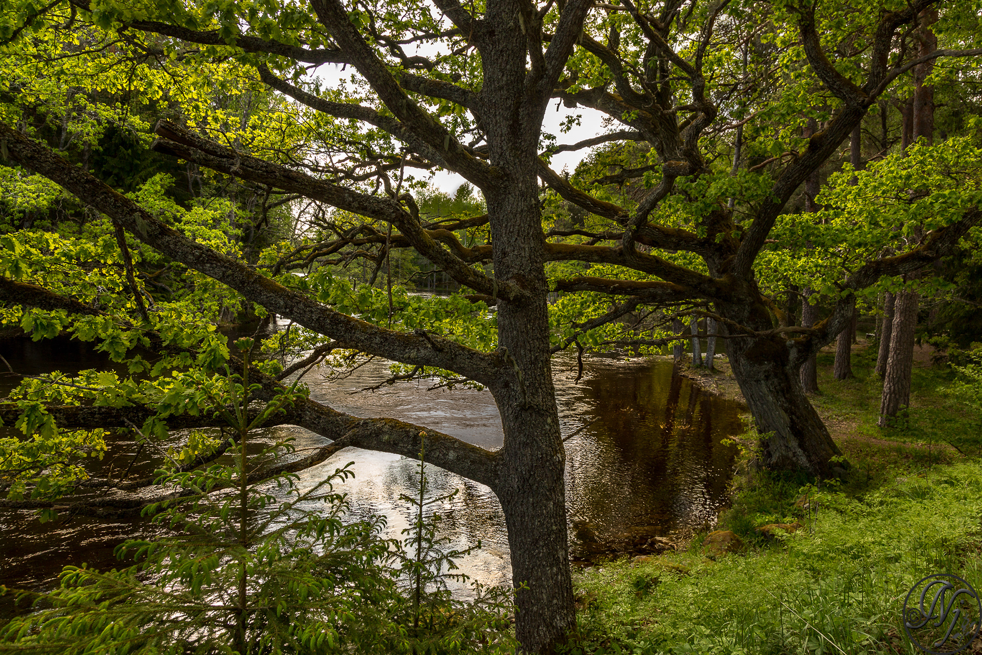
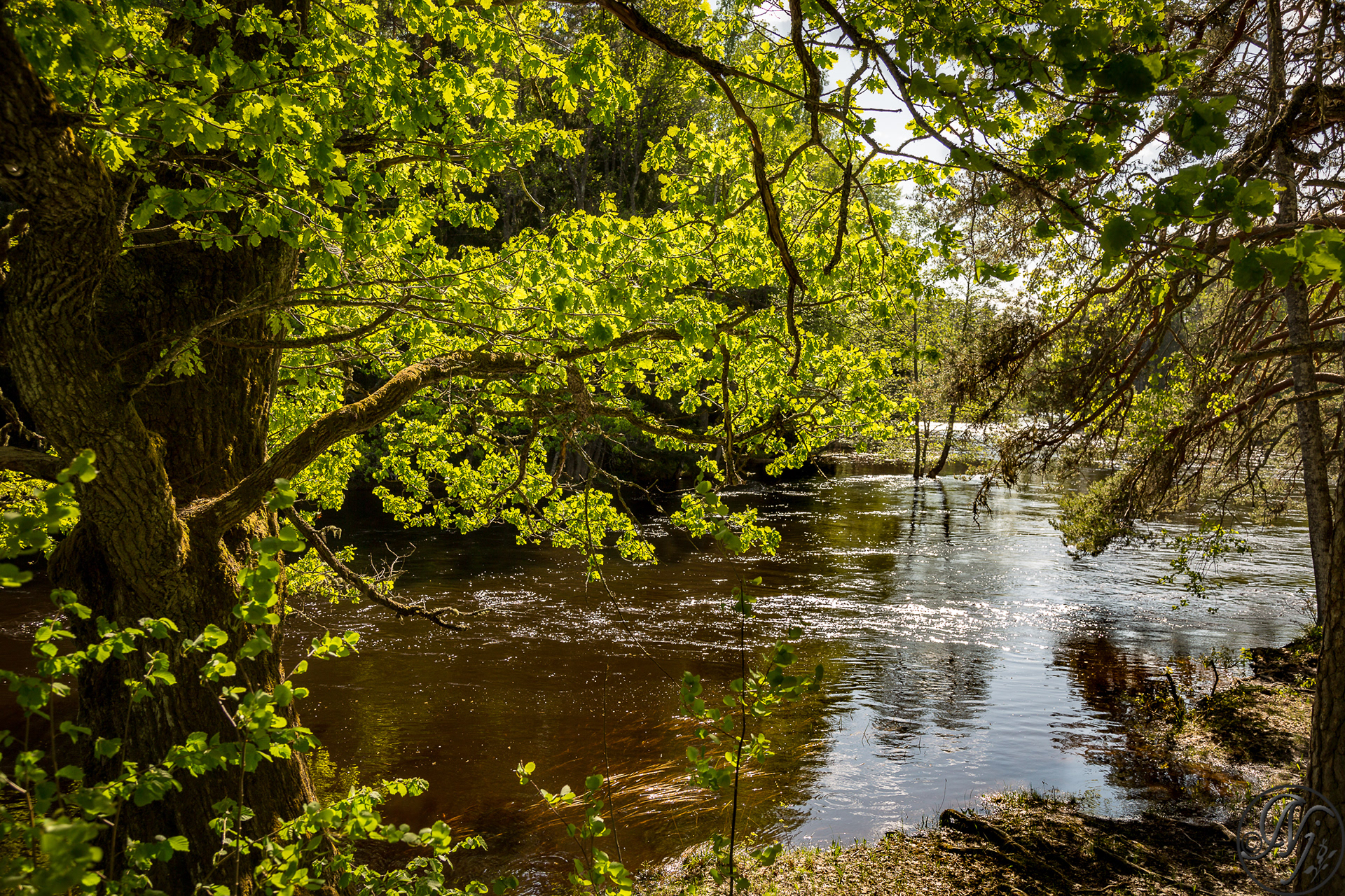
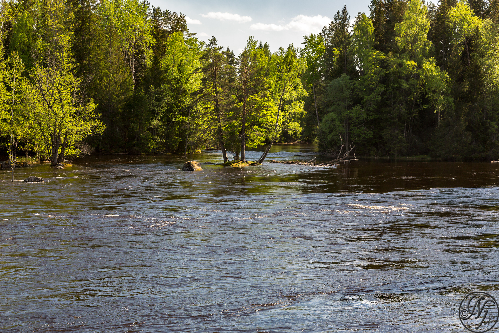
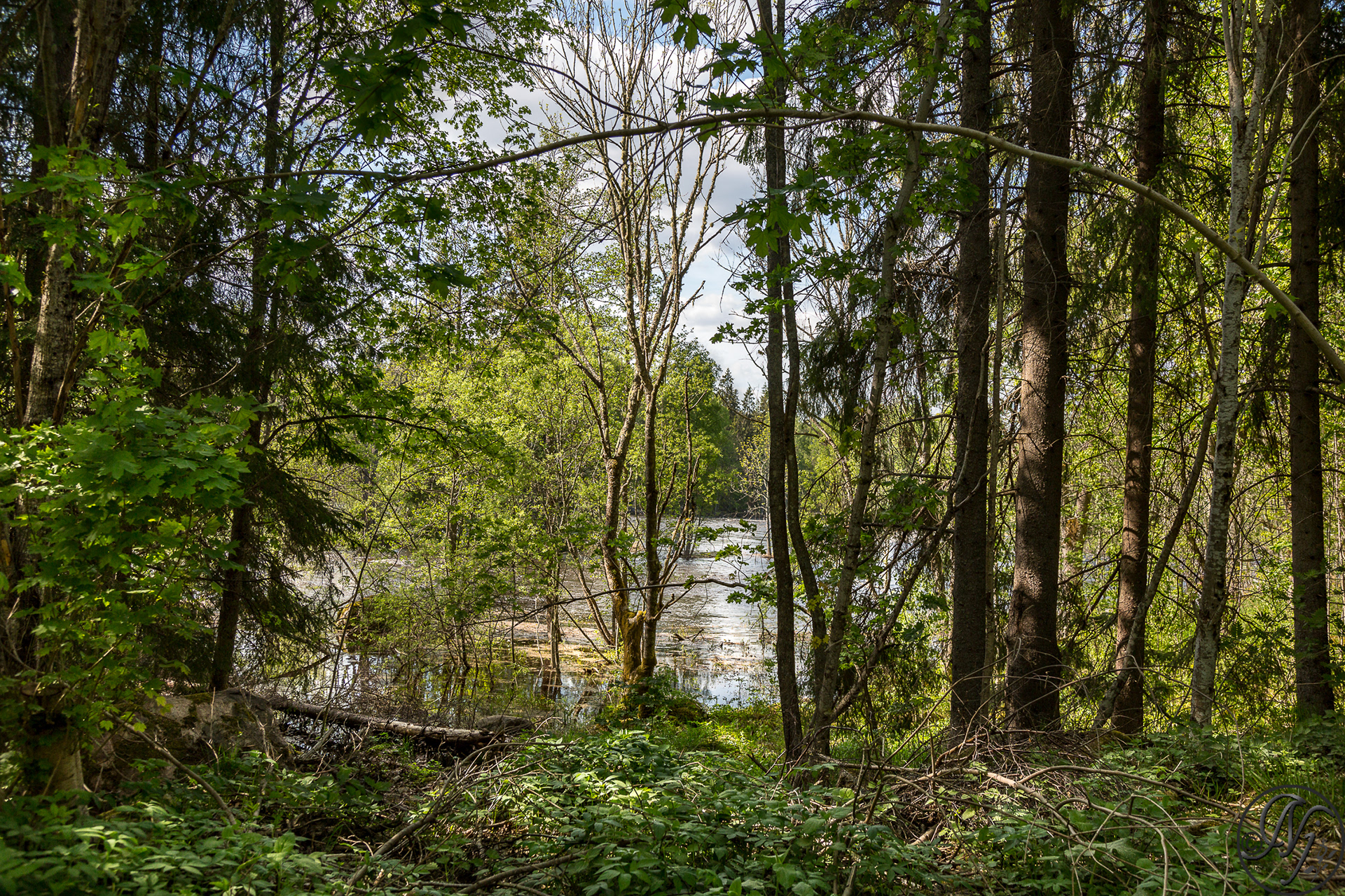
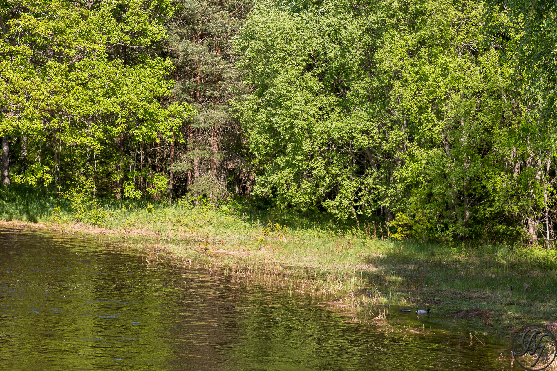
Färnebofjärden National Park, is a Swedish national park traversed by the river Dalälven, about 140 km (87 mi) north of Stockholm. It covers 10,100 ha (25,000 acres), of which 4,110 ha (10,200 acres) aquatic, on the frontier between the counties of Dalarna and Gävleborg.


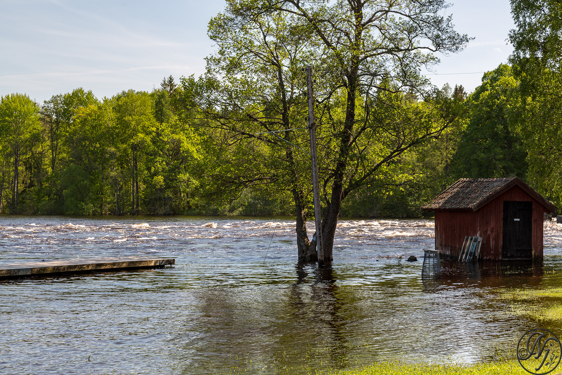


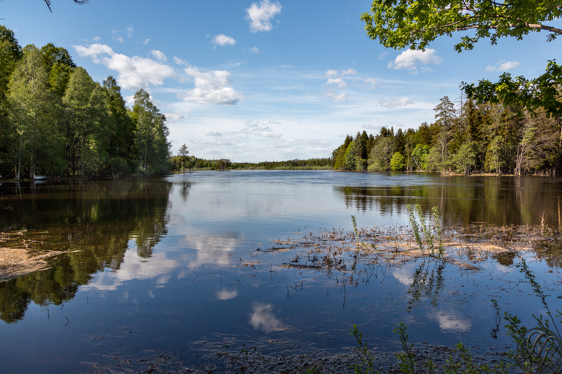
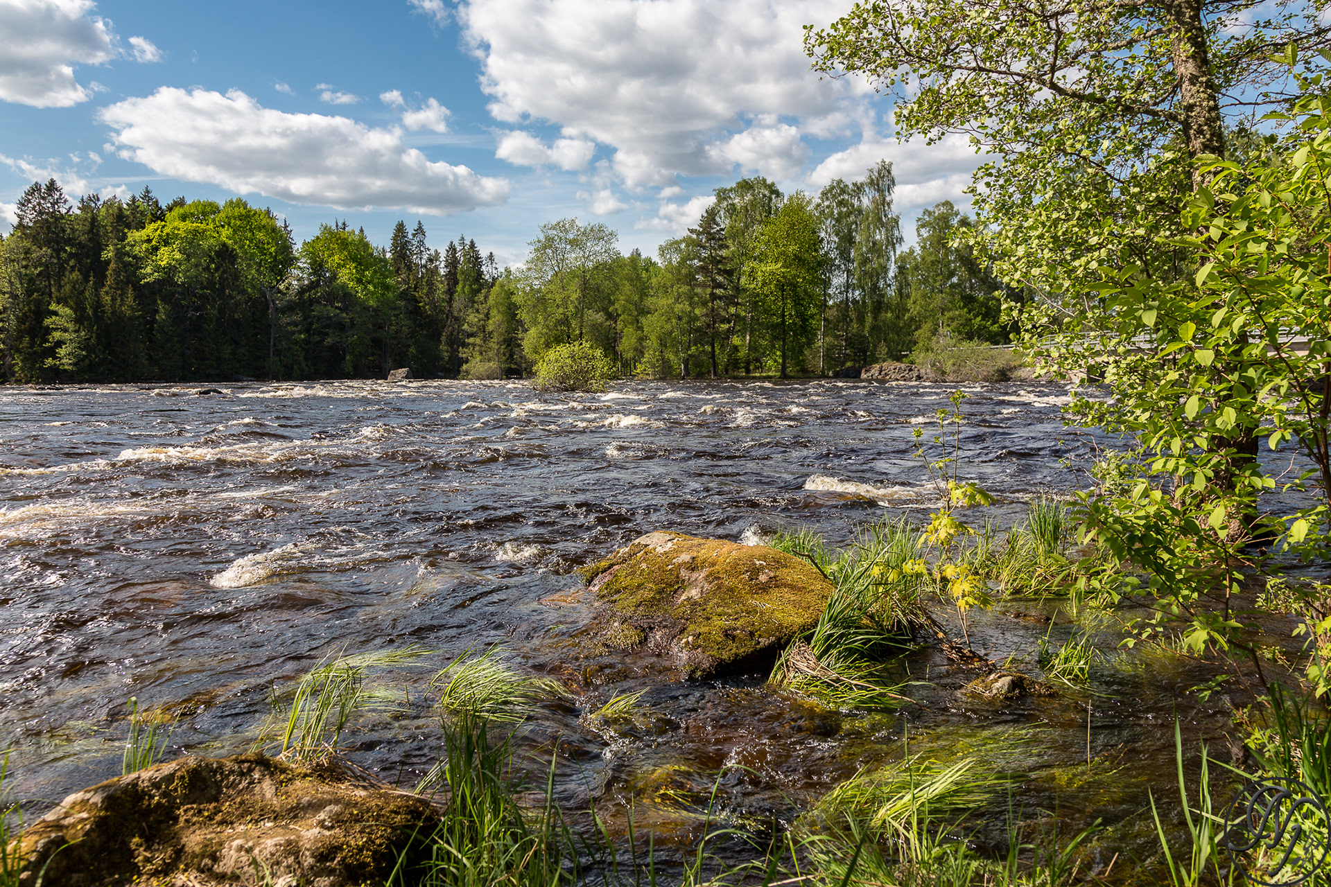
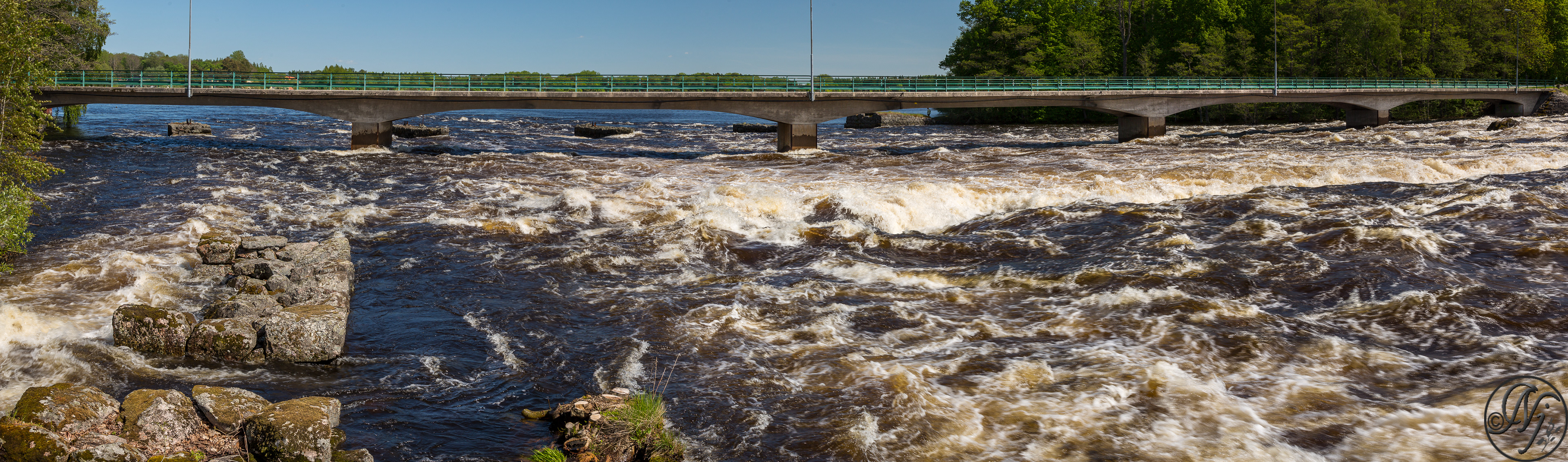
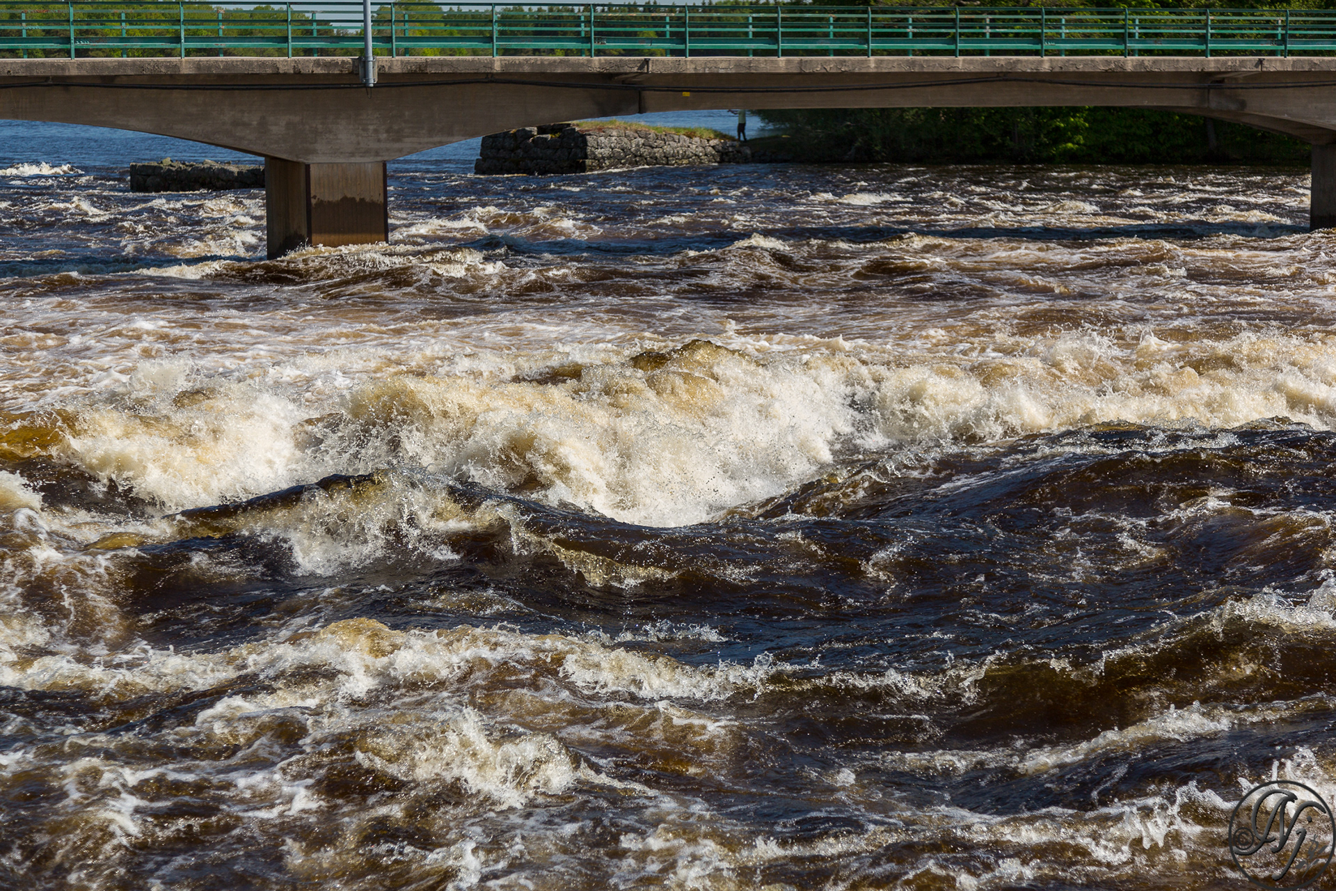
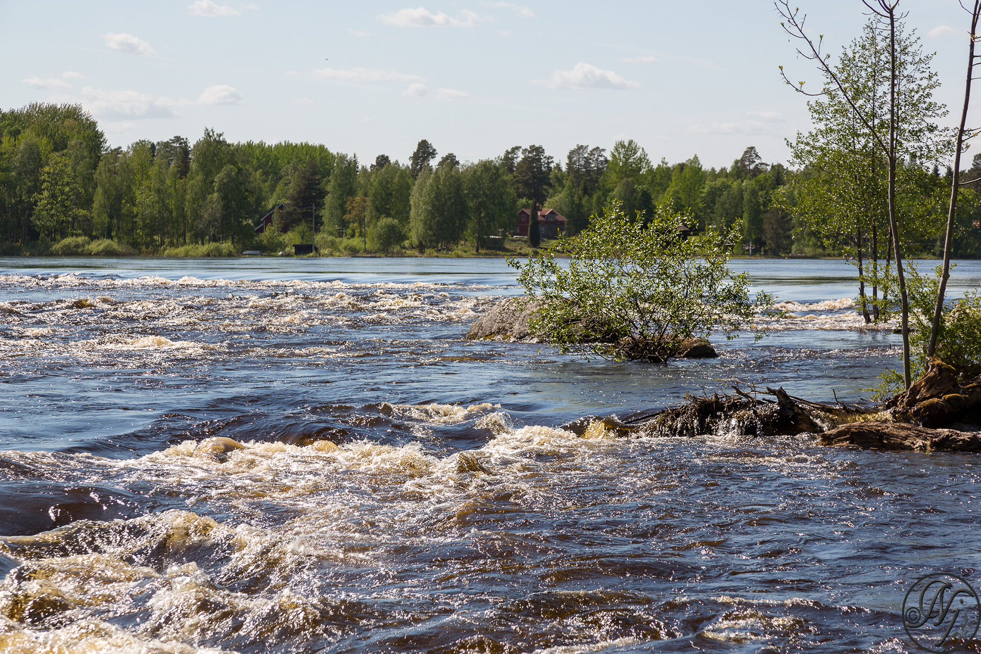
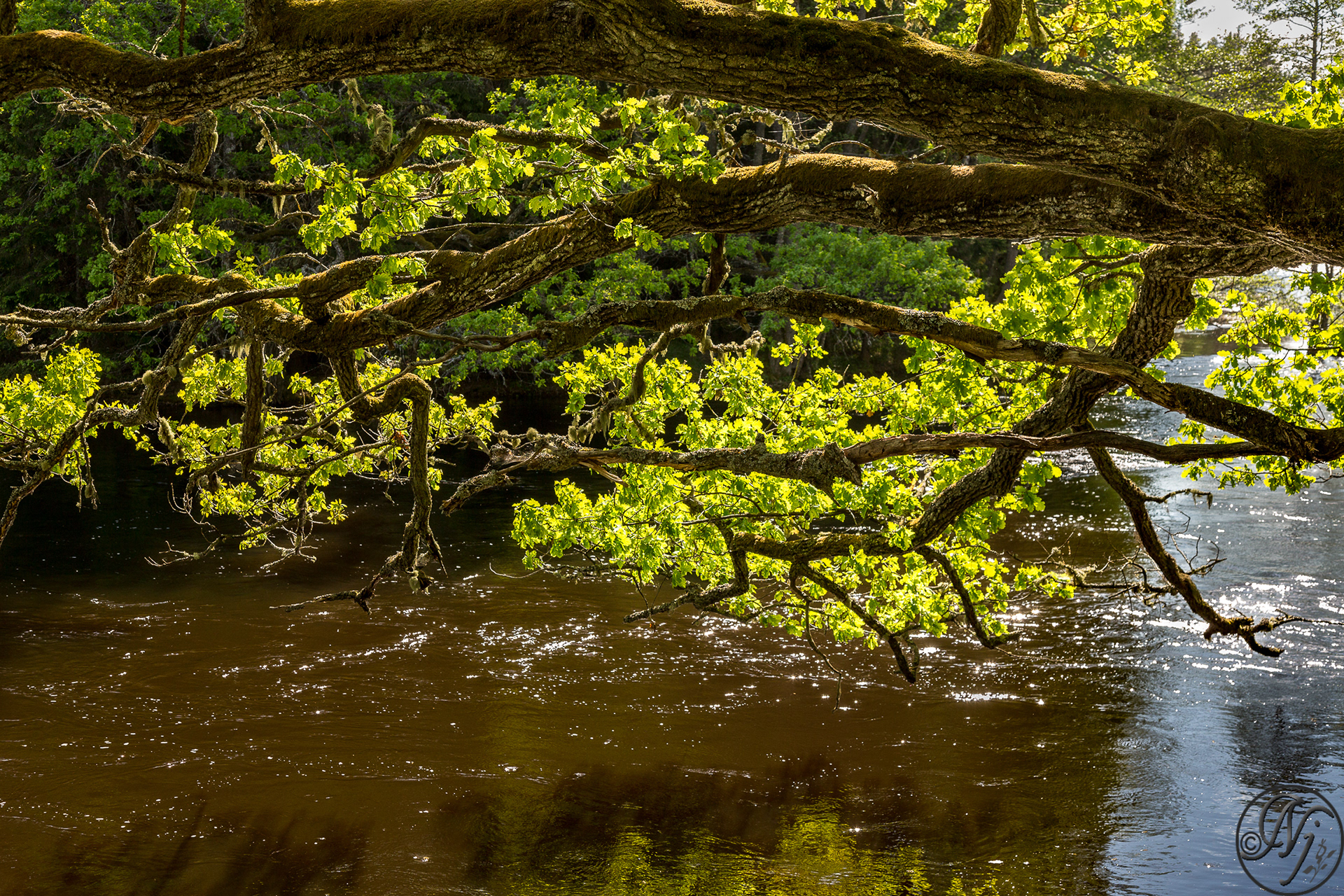
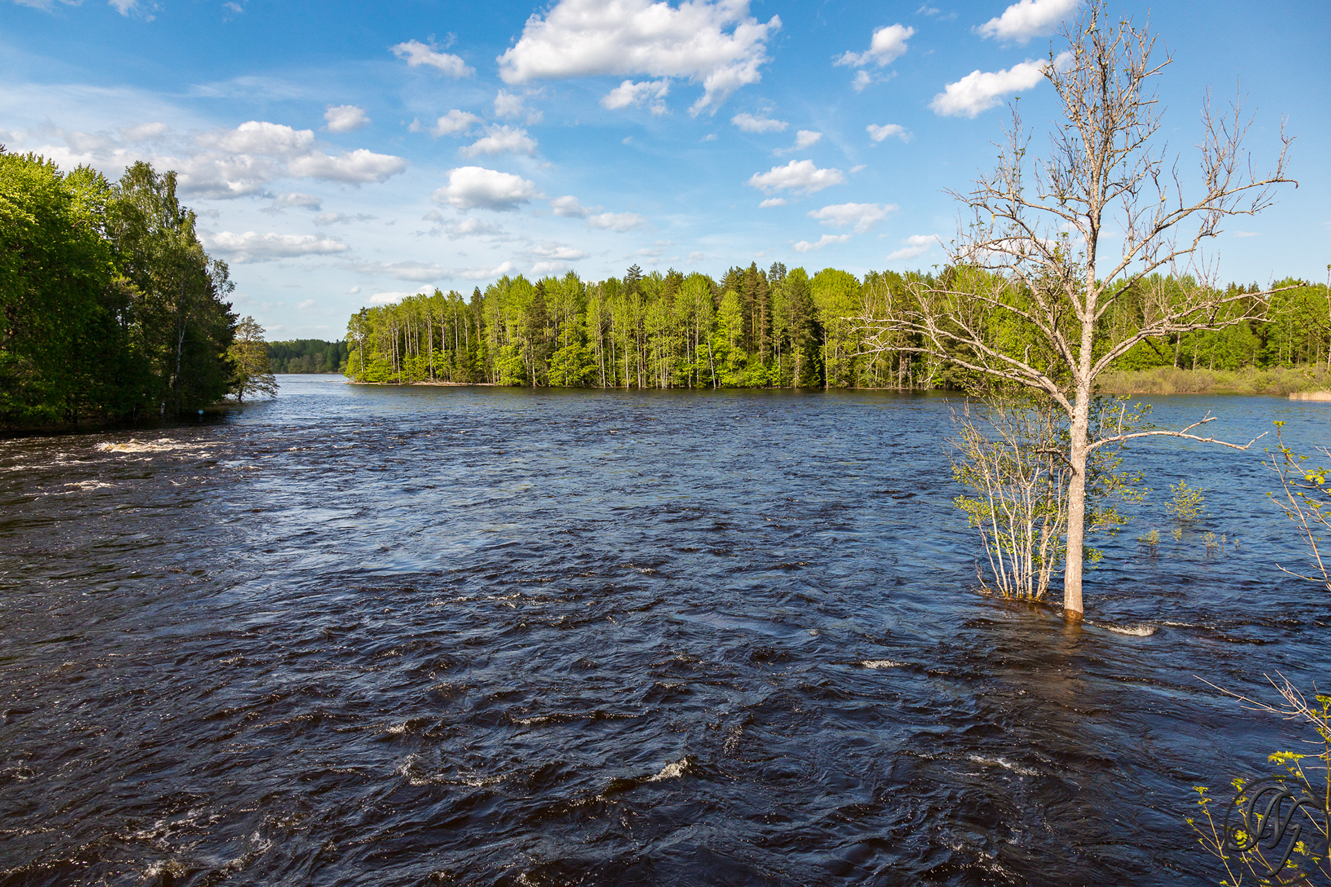
After the retreat of the ice sheet that covered the region after the last ice age, the river found itself rerouted by an esker onto a plain uniquely ribbed by the ridges of other eskers, where it formed a succession of rapids and wide bays (called fjärdar), which the river inundates during the spring floods.


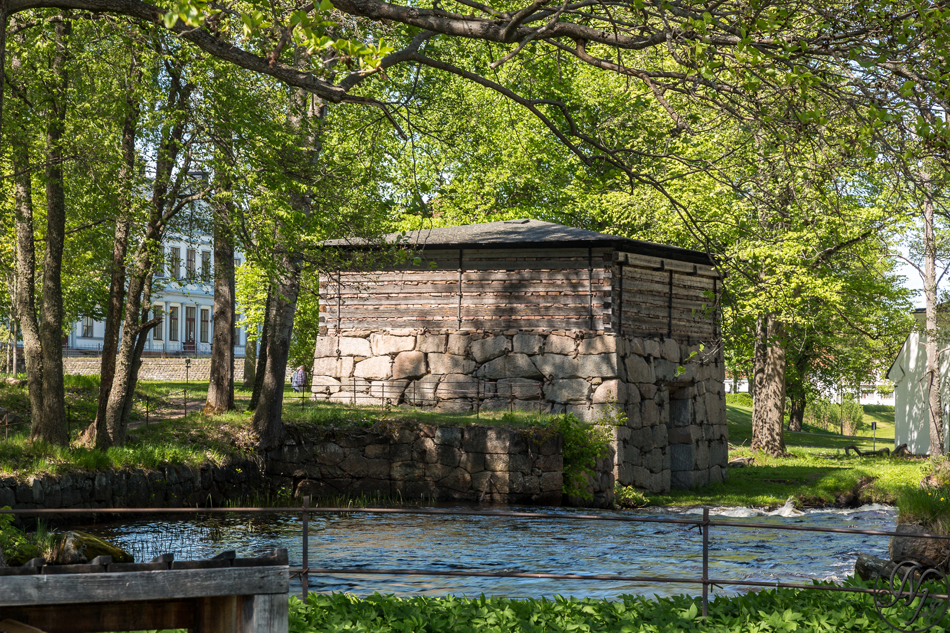
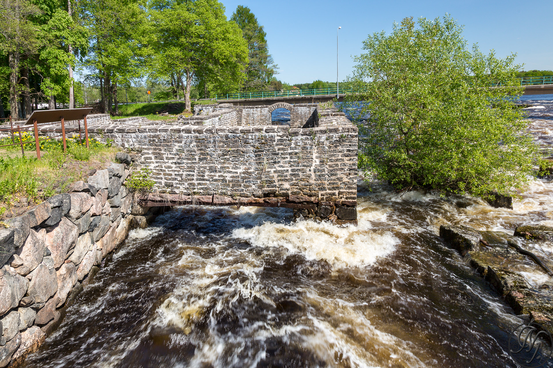
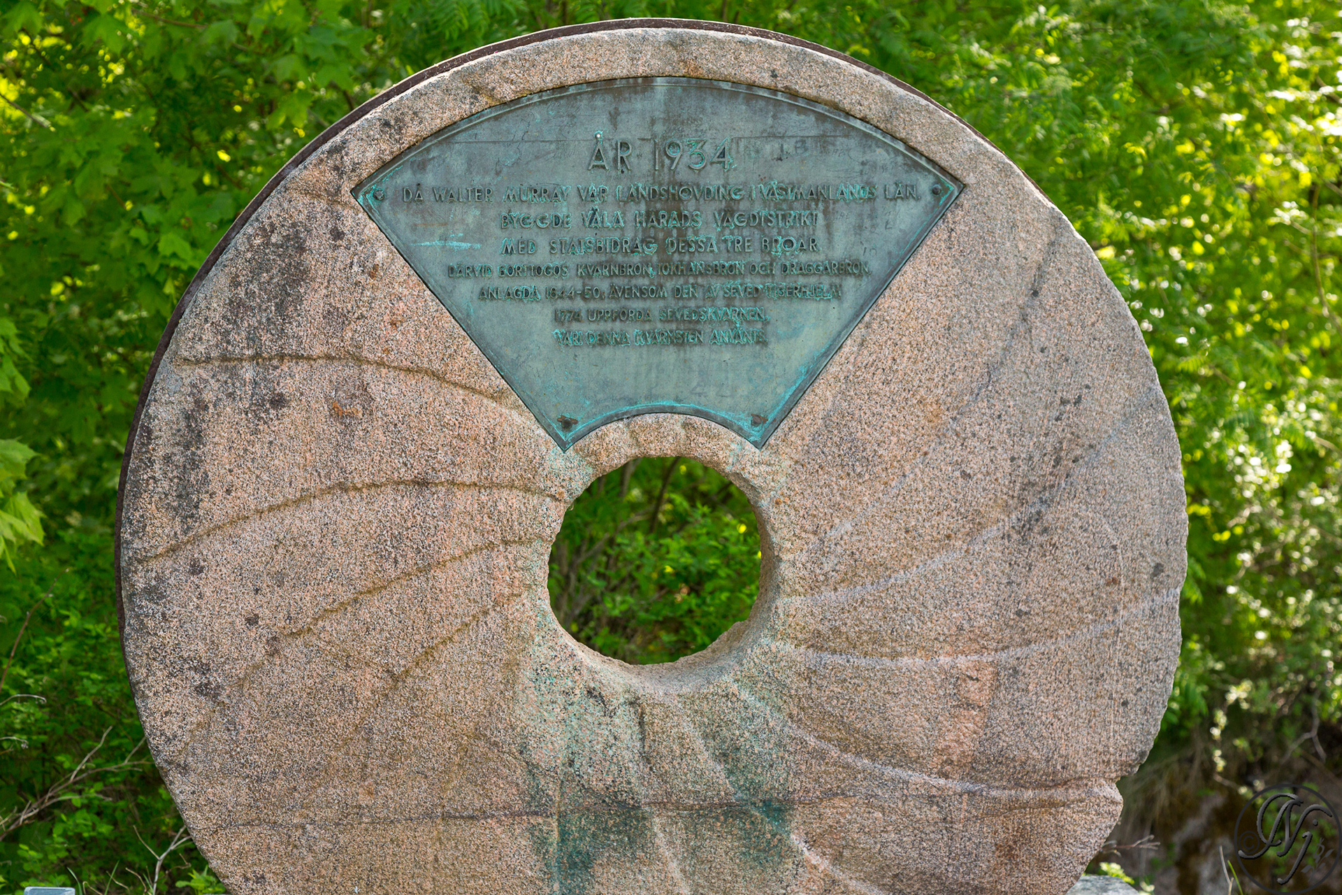

If the presence of humans was relatively discreet since the Stone Age, concentrated principally atop the eskers, the development of mining activity (in particular of iron) has profoundly affected the region.
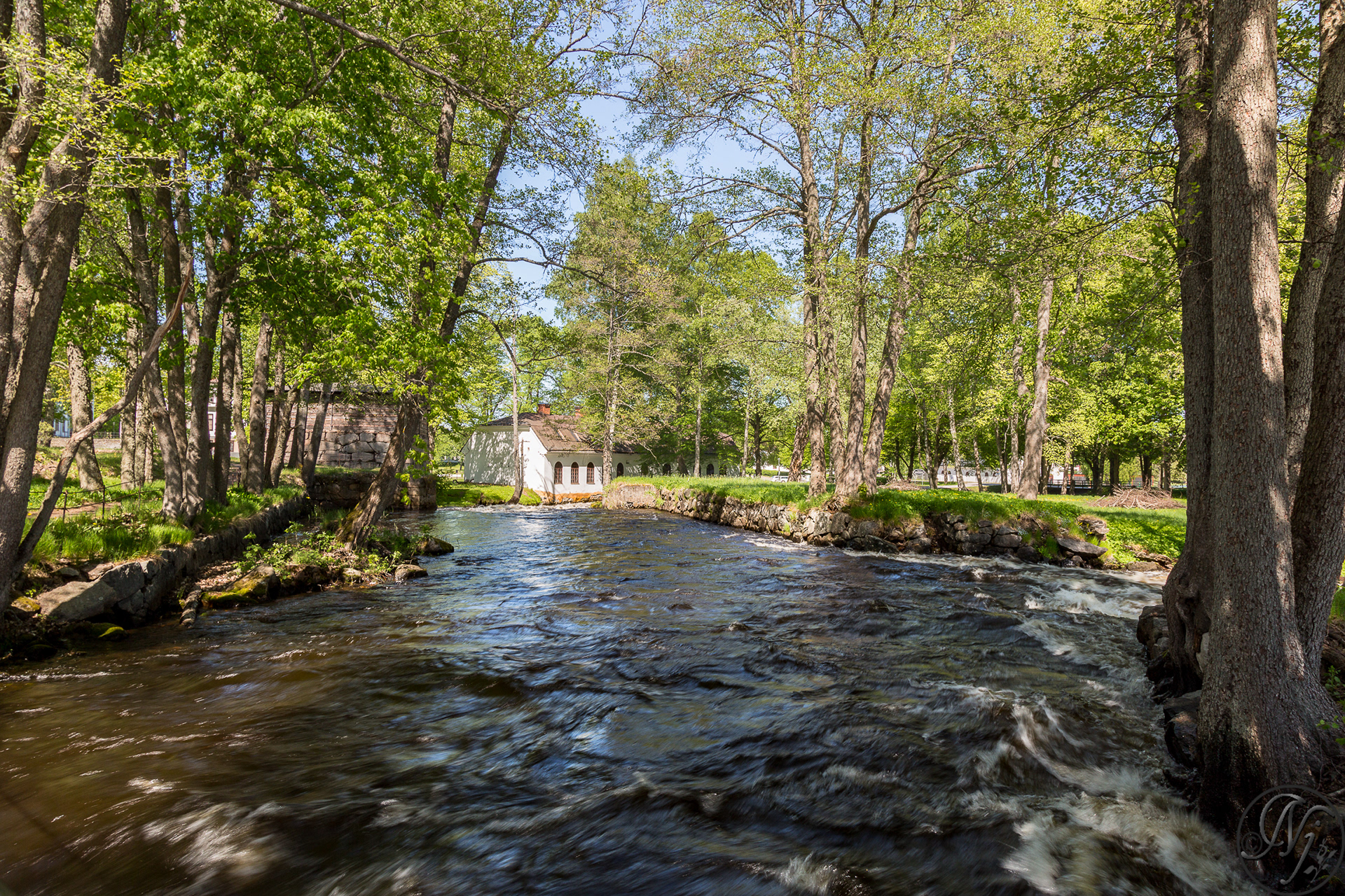


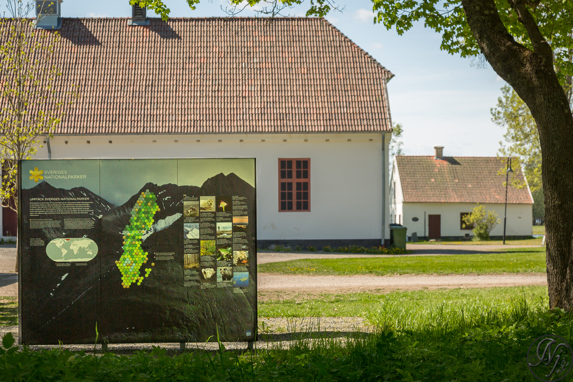
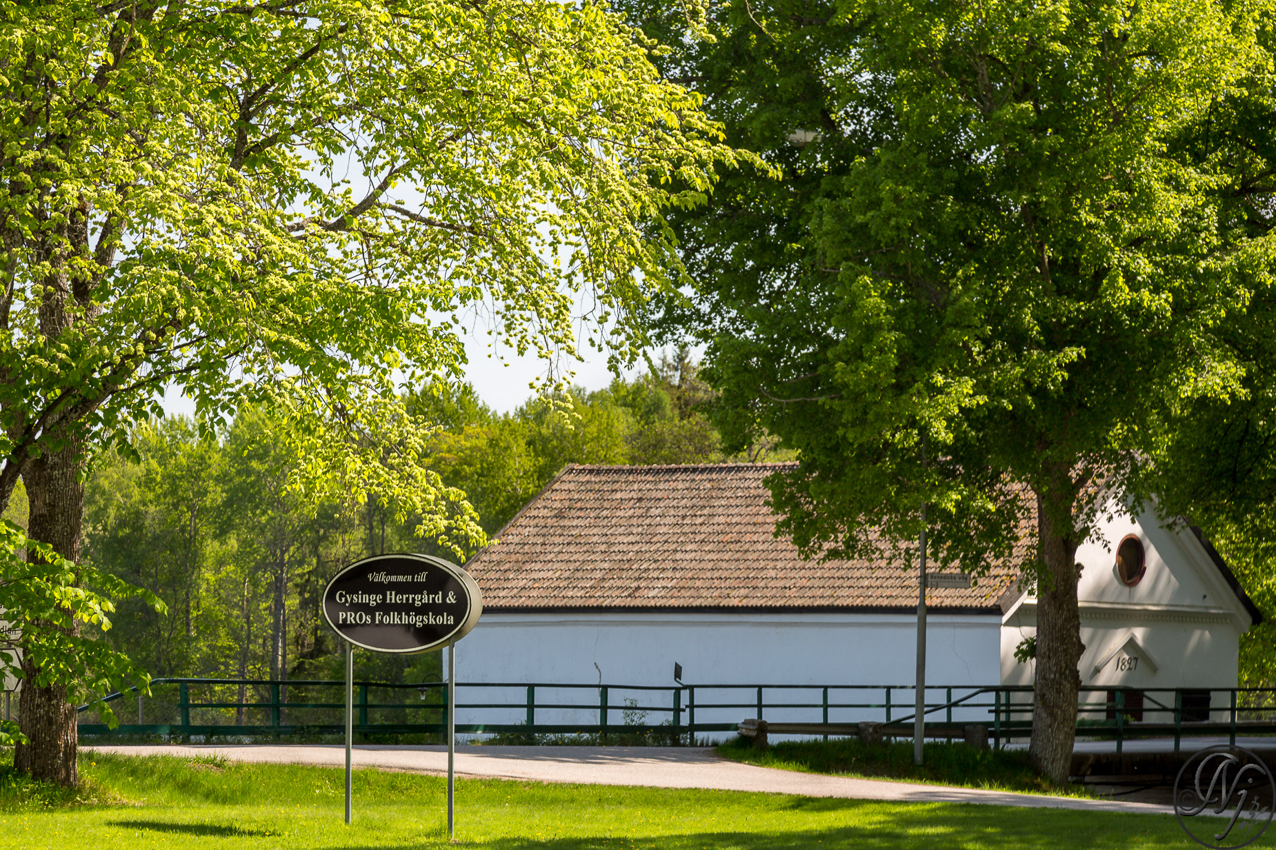
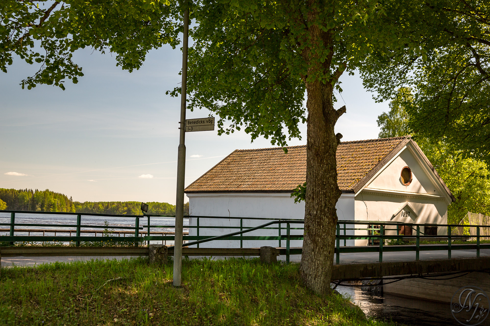
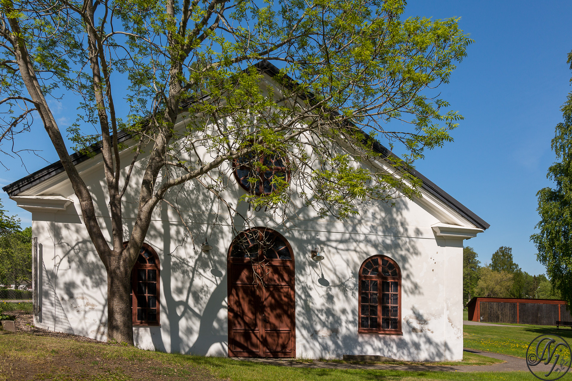
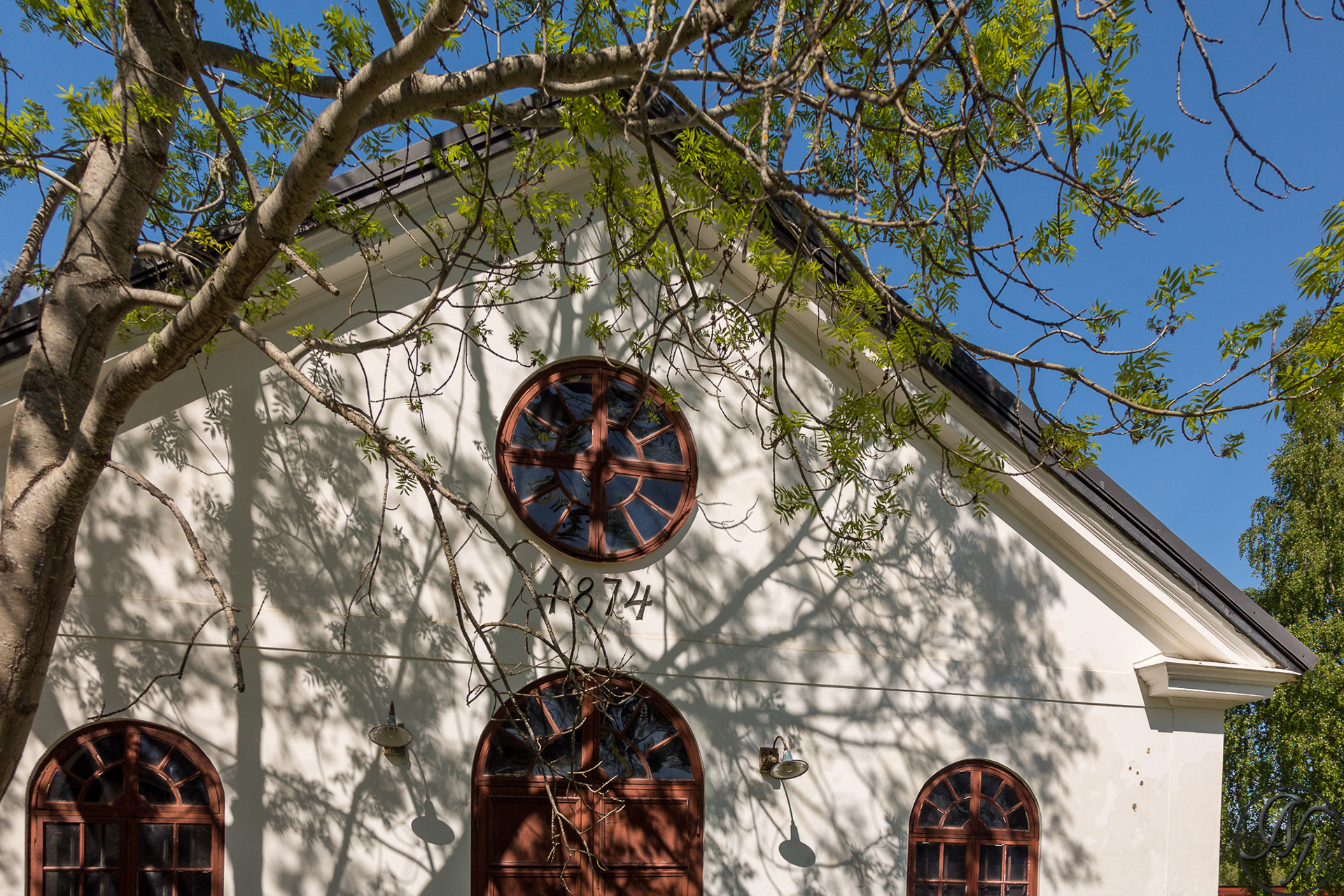
The forests were exploited to feed the water-powered forges which grew up along the river. One of the most important was that of Gysinge, founded in 1668 and situated right next to the park. In 1975, in reaction to the threat of the clearing of a vast forest, the movement for the creation of a national park began, culminating in the park's opening in 1998. The park was added to the Natura 2000 Network and included in the Ramsar Convention's list of wetlands.
Info:Wikipedia